


The Meewasin Trail
The Meewasin Trail lives in and outside of the City of Saskatoon, on both sides of the river, and includes several sites and services to help you make the most of your adventures. Explore the natural habitat along the riverbank, discover culture at museums and interpretive sites, and take advantage of enhancements such as parks and canoe launches. Our Trail Guide which includes a map, is sponsored by the Saskatoon Road Runners, and is available at our office.
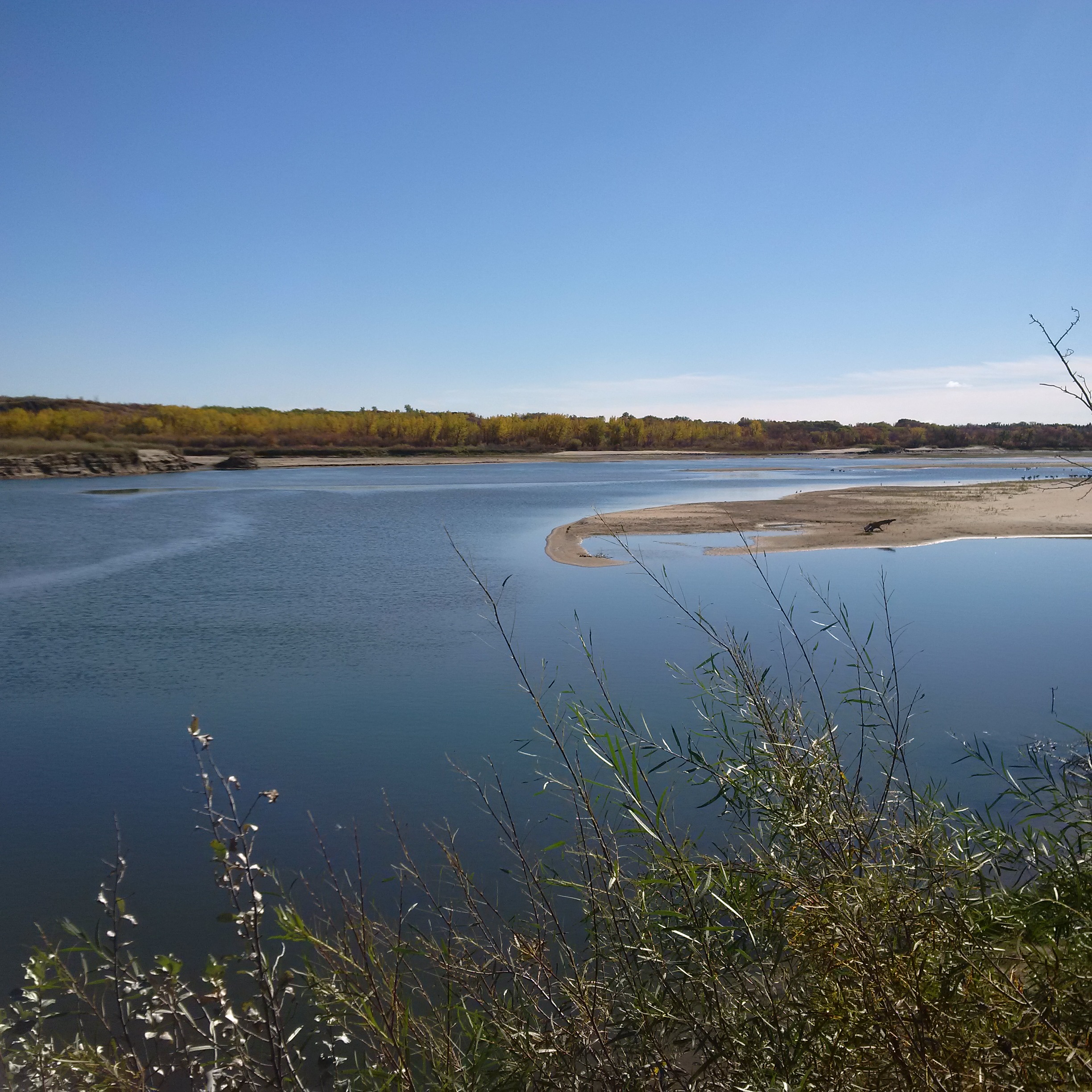
Many parks and sites are located along the Meewasin Trail, a must-see attraction. The trail runs over +105km along both sides of the river, winding under the bridges, and through beautifully landscaped parks and natural areas. Residents and visitors flock to the trail to cycle, jog, stroll or simply gaze at the scenery.
Exploring the trail is easy! Access points are found throughout the city, with maps and interpretive signage along the route. View our Meewasin Trail Guide 2023 for site information and a detailed map of the trail on the Meewasin Trail Map!
Current Meewasin Trail Closures

View Map of the Meewasin Valley, which includes many loops and their distances.
Featured recommendation for hikes, loops and paddles along the Meewasin Valley!
*Thanks to SaskHiker for featuring several Meewasin hikes on the Central
Saskatchewan page of his website: Beaver Creek Conservation Area, Cranberry Flats Conservation Area, Saskatoon East Bank Trails, Meewasin Northeast Swale, Wanuskewin Heritage Park, & Chief Whitecap Park Trail
*Saskatchewan River Canoe Guide: River Eco Canoe Guide & Maps
* May not be up to date.
The Development Plan is prepared and adopted in accordance with the Meewasin Valley Authority Act, which requires a special resolution of the board. Any changes to this Development Plan also require a special resolution.
The Development Plan includes*:
- The Meewasin Valley Project- 100 Year Masterplan (1979)
- Meewasin Park Master Plan with Maps
- Beaver Creek Plan (1980)
- East Bank Open Space Study (1981)
- River Edge Industrial Location Policy (1981)
- Meewasin Valley Trail System Plan (1990)
- West Bank South Study Development Plan (1991)
- East Bank South Development Plan (1996)
- Land Acquisition Policy (1997)
- Cultural Works/Unsolicited Donations Policy (2002)
- South Downtown Local Area Design Plan (2004)
- South Downtown Concept Plan 1 (2004)
- South Downtown Concept Plan 2 (2004)
- Northeast Policy (2015)
- Meewasin South Downtown District Development Policy (2016)
- Development Review Policy (2021)
- Land Policy (2016)
*This may not be a complete list.